Ocean Springs through time
Historic map comparison
Choose a district, then click any year to watch the map change from the year you were viewing.
Move through time:
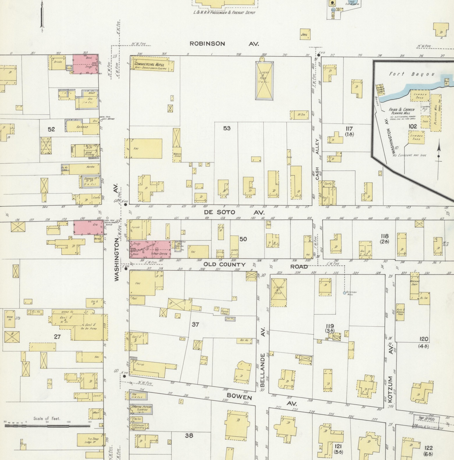 1909
1915
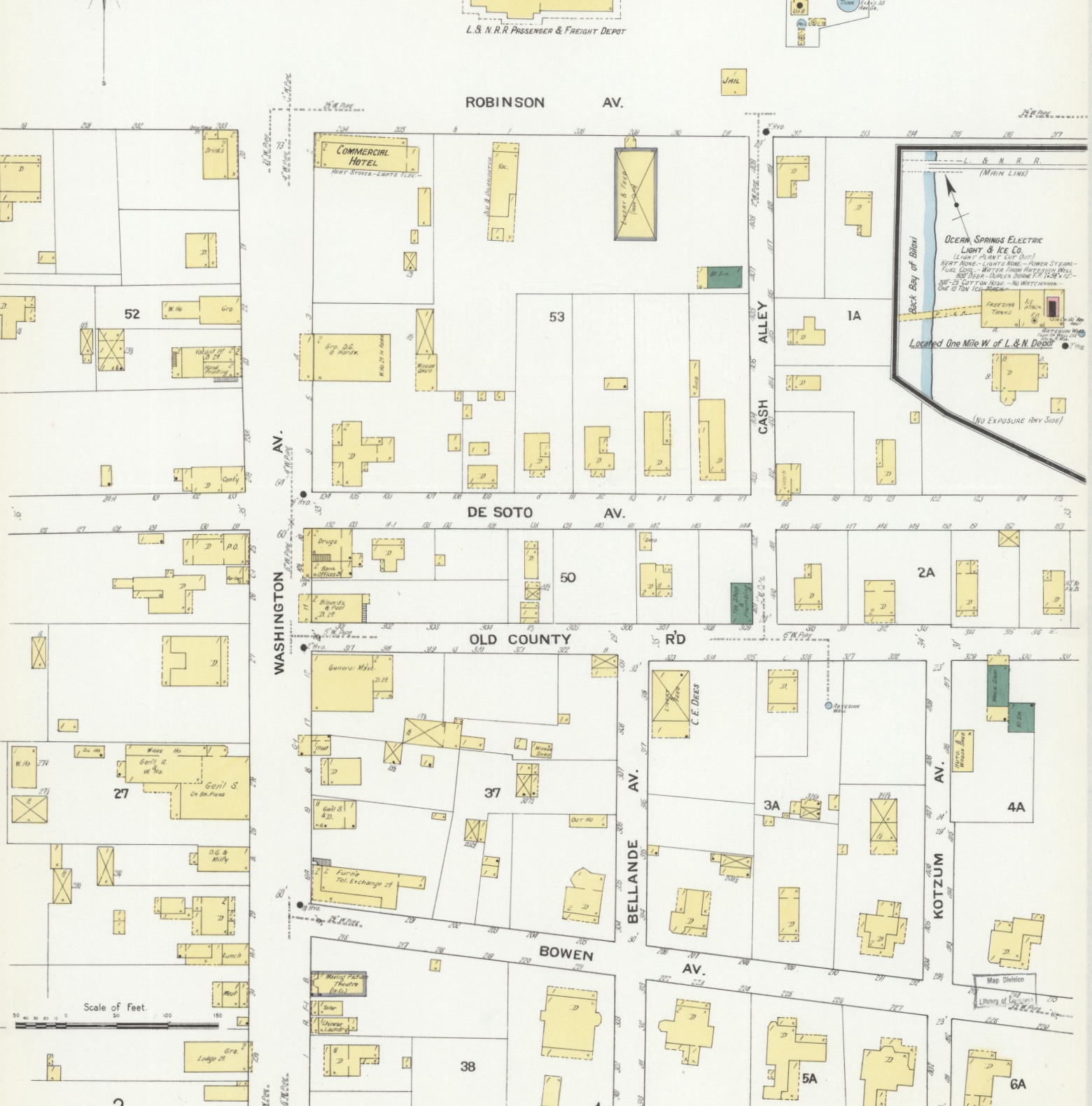
How to use it: click another year to animate both map sheets together. Drag the divider to compare, or turn on the magnifier to read fine print.
Source: Sanborn Map Company maps held by the Library of Congress, Geography and Map Division.
What are Sanborn maps?
Sanborn fire insurance maps were created to help insurers evaluate fire risk. They recorded details such as building footprints, construction materials, number of stories, building uses, streets, lot lines and water supplies. Today, they provide a remarkably detailed view of how Ocean Springs changed over time.